The sprawling and mysterious stand of stone and brick ruins that occupies perhaps the best clifftop view over Duluth’s harbor is for sale. …
Reservoir ruins sale offers cliff views, odd historyRead more

The sprawling and mysterious stand of stone and brick ruins that occupies perhaps the best clifftop view over Duluth’s harbor is for sale. …
Reservoir ruins sale offers cliff views, odd historyRead more

Remember when all of Duluth’s houses were pink? It was back when we all lived in the land of make-believe known as the illustrated postcard era.
So, what was “Glenn Rock”? …

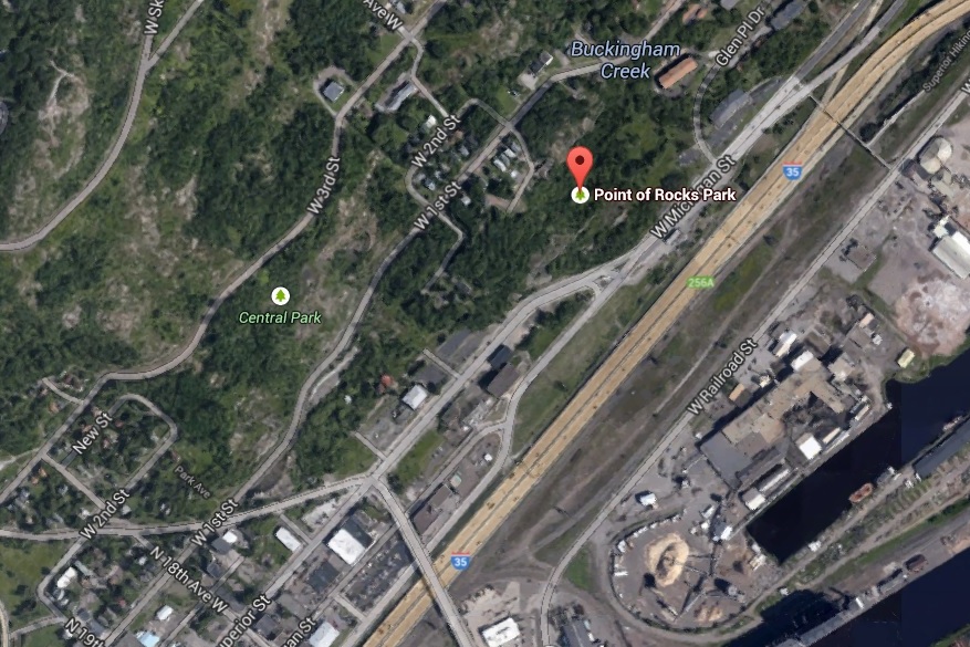
The six photos in this post are all from Detroit Publishing Company, and appear to have been shot on the same date — unless someone with a keen eye can call out evidence to the contrary. They are generally labeled as scenes from “the Bluffs,” which is an area of Duluth that later became known as the Point of Rocks. These photos appear to have been shot in a part of Point of Rocks that is known as Central Park, at the eastern-most part of the Lincoln Park neighborhood. …
Across from the M&H gas station at Point of Rocks Park, there is a gap in the rocks, a ravine, for which in the past appeared to have many buildings around it. Was this the location of Duluth’s Little Italy? It seems like it may have been. The big question, however, is what is with the ravine there? It seems to be man made, and almost as if they were attempting to continue Superior Street, as it lines up near perfectly. The buildings slowly disappear over the decades, until they all seem to be gone by 1989. Was this ravine an attempt to continue Superior Street, or was there some other reason for it? It’s been fascinating me for some time. (I’ve included links to historical aerial photos of the area). …