

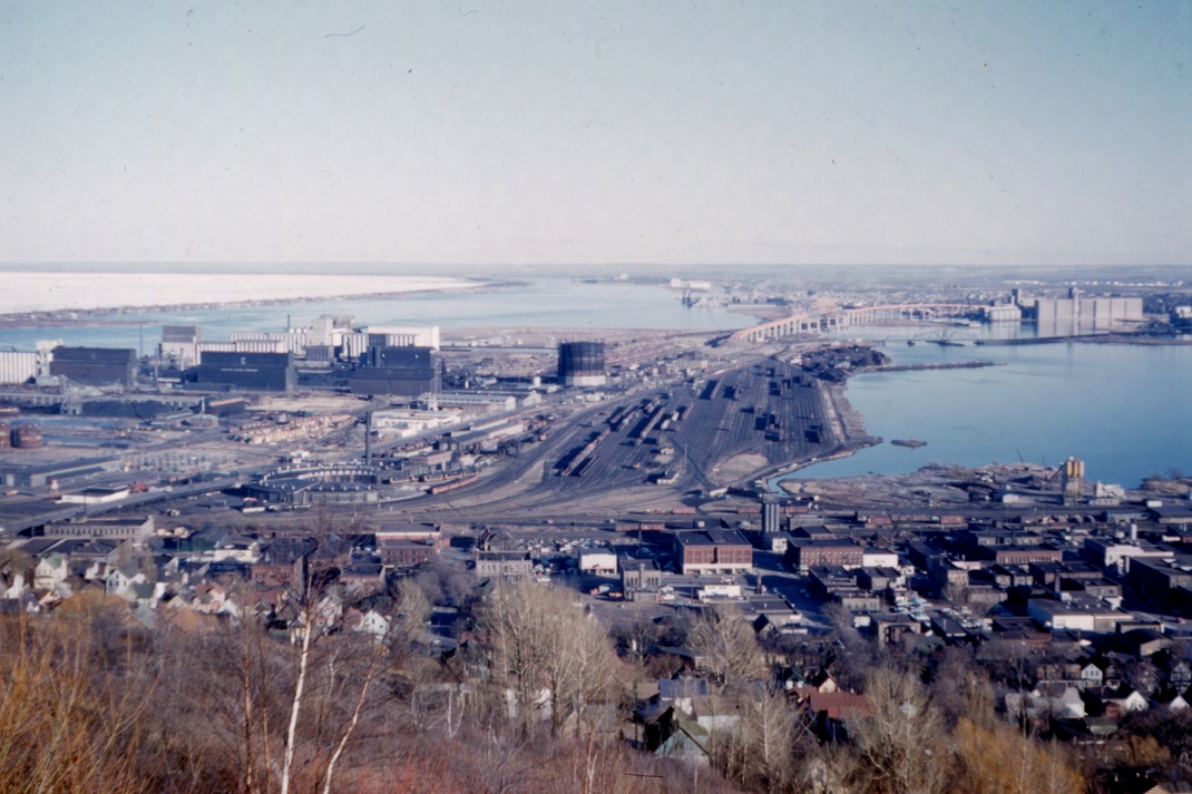
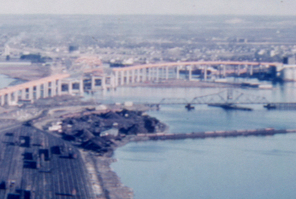
 The above shot of Rice’s Point is from the Cliff’s Barber Shop Collection. It must be from early 1962, as the new Blatnik Bridge (highlighted in the smaller image at left) appears to be not quite completed in the photo, and the old swing-span Interstate Bridge seems to still be in use.
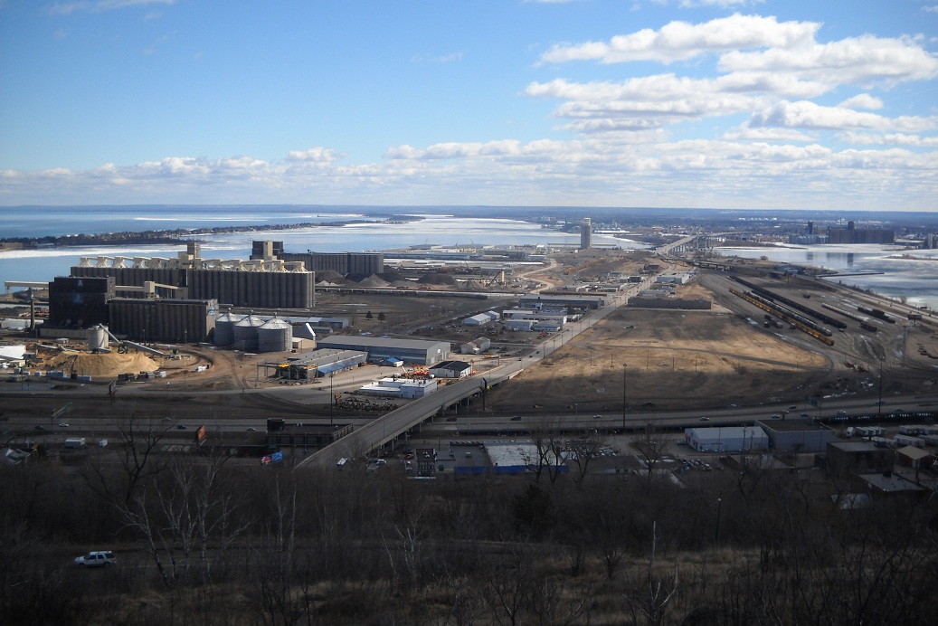
This modern-day shot is from April of 2011. I didn’t shoot it intending to get a comparable shot to the one up top. It’s an interesting coincidence. A few hours after I acquired Cliff Johnson’s slides, but before I looked at any of them, I went for a hike on Goat Hill and shot this photo. Later in the day I borrowed my parent’s slide projector and saw Cliff took a very similar shot back in the day. Weird.
5 thoughts on “View of Rice’s Point, 1962”
The Blatnik Bridge is so massive compared to the old bridge. It makes me wonder how long we will be able to afford its maintenance.
What the heck is this? Half-finished nuclear plant cooling tower?
Sweet, 50 years and what should be a beautiful area where a river meets the largest fresh body of water in the world still looks like a disgusting industrial wasteland. Good job Duluth!
I don’t know what that is, Big E. I thought this 1970 shot from the News Tribune Attic might help, but it seems to be zeroed in a bit southwest of the point of interest.
According to Zenith City Online (The Saga of the Garfield Avenue Neighborhood, aka “Swede Town”) it’s the Duluth Water and Light “Gasometer” tank, a 3-million-cubic-foot holding tank for coal gas. (Image: Jeff Lemke, Twin Ports Time Machine.)